
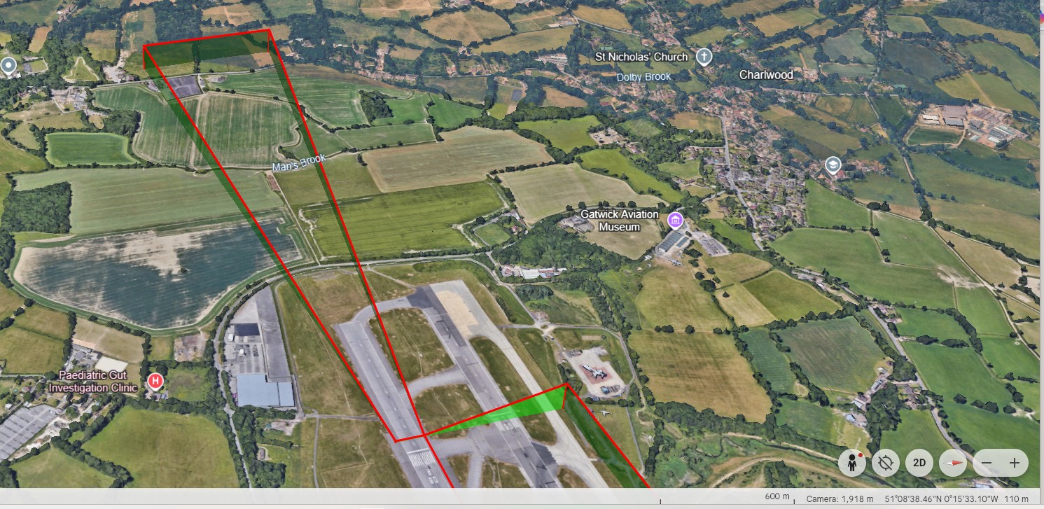
To complement GML output, work has started on the next output format which is KML. KML stands for Keyhole Markup Language. It is a file based format used to display geographic data on 3D earth browsers and maps. The GML format enables just geographic data to be displayed but KML offers more display and presentation features; these can be colour, transparency, extruding lines down to ellipsoid and can even do some animation.
In the FPAssistant SDK, you can create a collection of GeoMapElements and then simply send to them the graphical output of your choice. Or, you can create your own map engine to draw the geographical elements in the mapping, CAD, GIS or graphics engine of your choice.
To assist is the style or representation in your chosen graphical or mapping environment, if you have written code to create these map elements or you have used one of our modules. You can use the MapObjectProperties to create custom stylisation to elements being displayed.
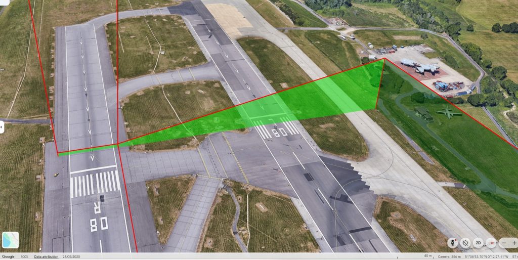
Full documentation is available along with any support needed to get you working.
These example images were taken from Google Earth as it is able to open a KML file to display. Overtime, we hope to implement further specific KML features but if you need them sooner then please make contact with the Dev Team.