
Tag: OLS
-
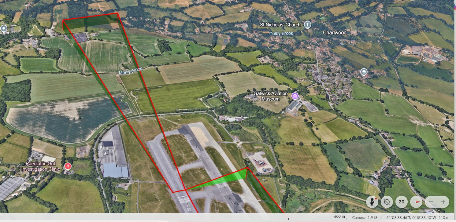
To complement GML output, work has started on the next output format which is KML. KML stands for Keyhole Markup Language. It is a file based format used to display geographic data on 3D earth browsers and maps. The GML format enables just geographic data to be displayed but KML offers more display and presentation…
-
Most of you are aware that ICAO has a working group looking at improvements to the Aerodrome Surfaces criteria with the Annex 14 document. From November 2030, there will be a new criteria for this and it currently known at the ICAO Obstacle Limitation Surfaces (OLS) Framework. This framework divides the new aerodrome surfaces into…