This is a large part in the SDK which covers many different aspects including coordinate conversions between different map projects, ability to create simply graphical types (Lines, Polygon, etc) and then display on the graphics system of your choice. Specific features in the SDK do create a collection of these geo types for you to display.
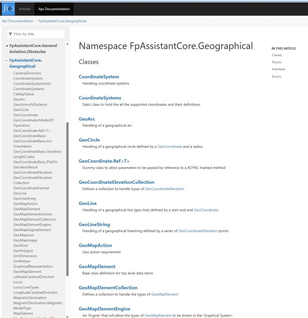
The main part is the GeoCoordinate struct which handle the latitude and longitude coordinate. This has a comprehensive set of constructors, Fields, Properties and Methods to handle most requirements. If you wanted to handle a simple latitude / longitude coordinate then the SDK offers the GeoCoordinateBasic type (which is used within the GeoCoordinate type) and this simply stores the coordinate in a decimal Degrees Minutes and Seconds format (.NET Double). This is for faster use with less memory usage. Also within this type is a series of FAA construction calls for geometry used in TERPS but is useful in others areas to.
We aim to write more posts here that will showcase specific areas on how you can use and benefit from using the FPAssistant SDK for your aviation software development needs.
Any questions, then please do make contact and we are here to help and always looking at ways to add features.